Lauriston
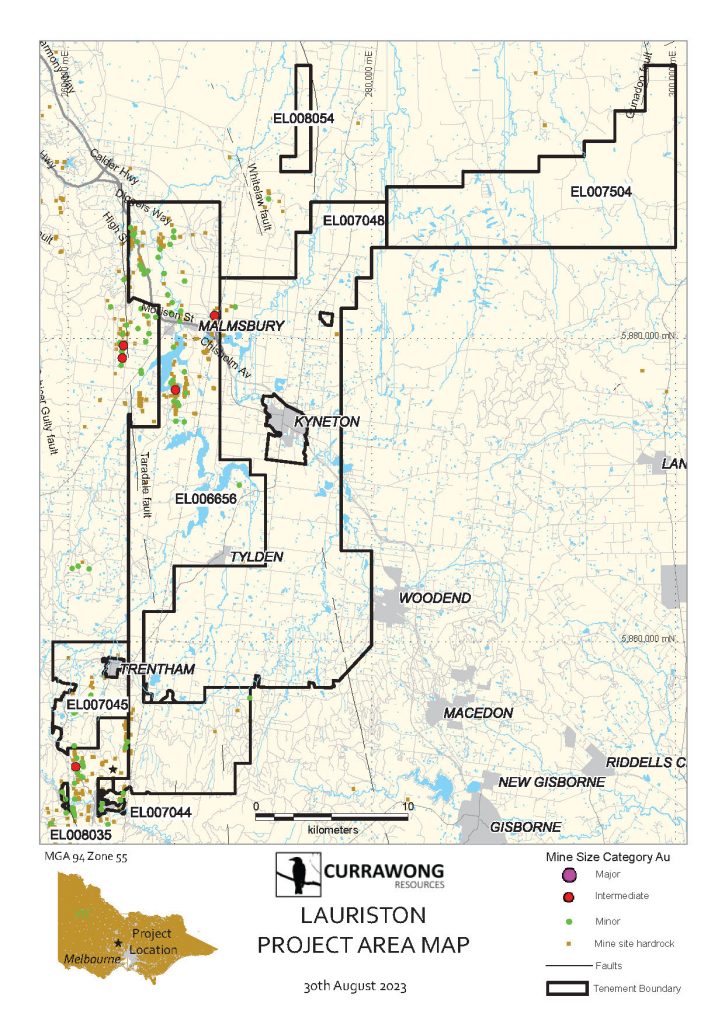
Our 100% owned Lauriston Project lies in the heart of the Victorian Goldfields, from approximately 30 kilometres south of Bendigo stretching to the northern end of Lerderderg State Park. Our Lauriston Project lies in the Bendigo zone of the Lachlan Fold Belt and covers the south extension of the Whitelaw and Tandarra Faults, which are significant features in the Goldfields, and home to many known gold deposits and historical workings.
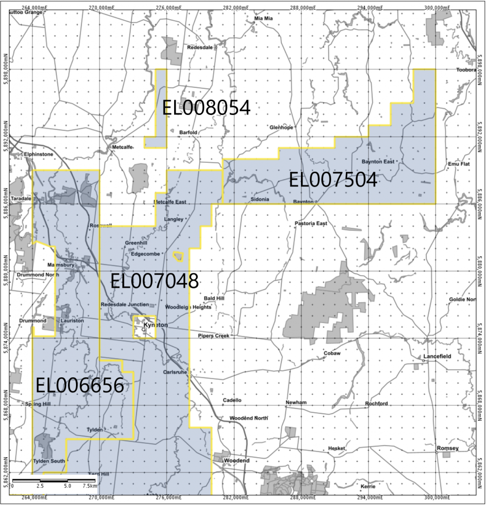
We currently hold the active Exploration Licence for EL006656 which runs south-east from Castlemaine until just north of Lederberg State Park, covering an area of approx. 287 square kilometres.
We have four further exploration licences and two applications as part of our Lauriston project.
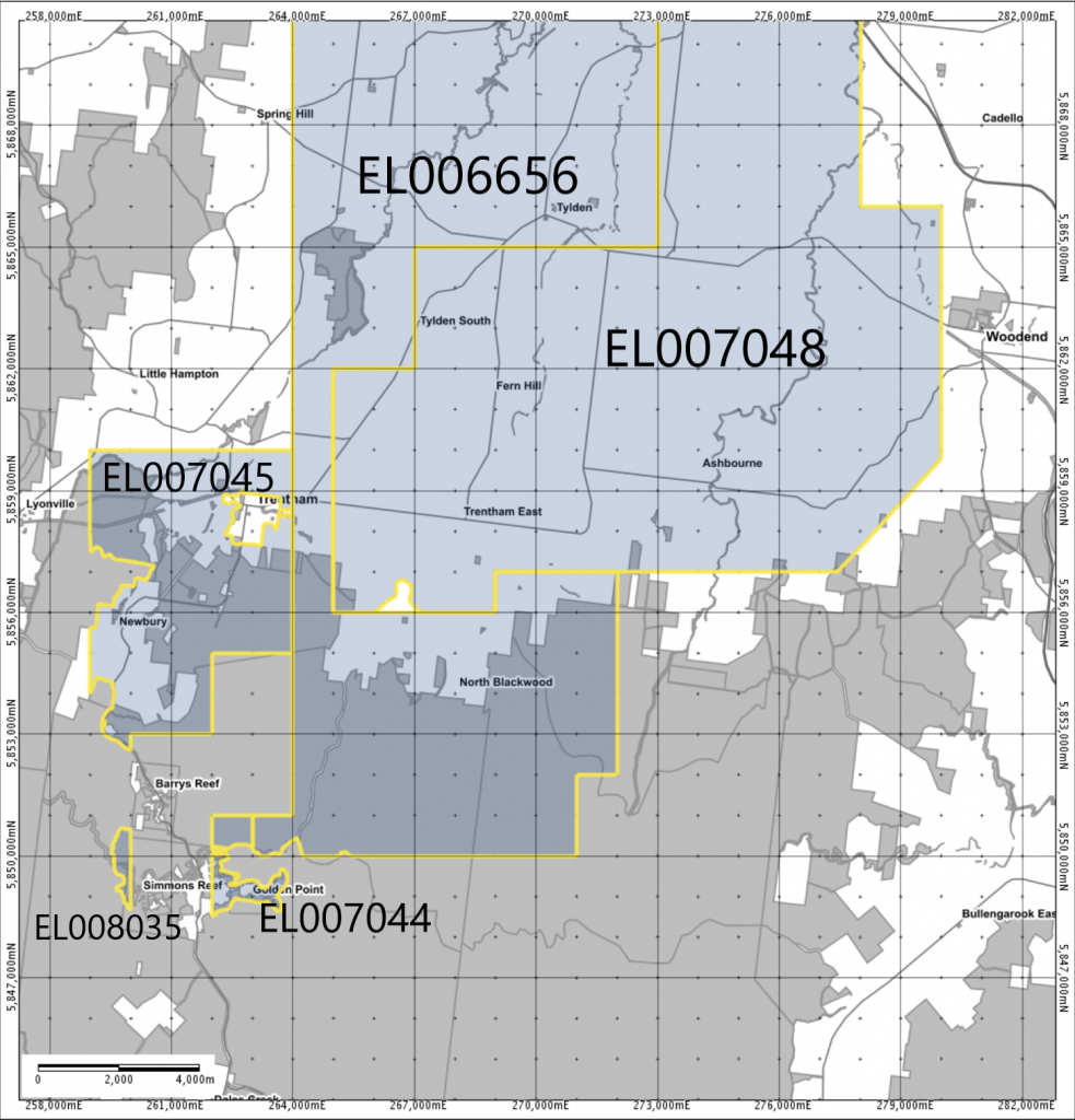
- EL007044 –North-west of Lerderderg State Park covering approx. 5 square kilometres in the Blackwood area.
- EL007045 – North of Lerderderg State Park covering approx. 36 square kilometres in the Trentham area.
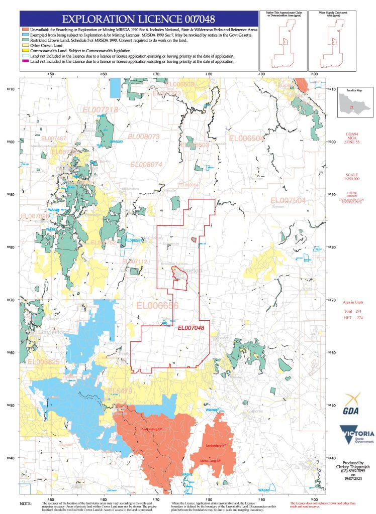
- EL007048 – South-east of Castlemaine covering approx. 265 square kilometres in the Kyneton area.
- EL008054 – In the Barfold/Metcalfe area.
- Application EL008035 – West of Blackwood
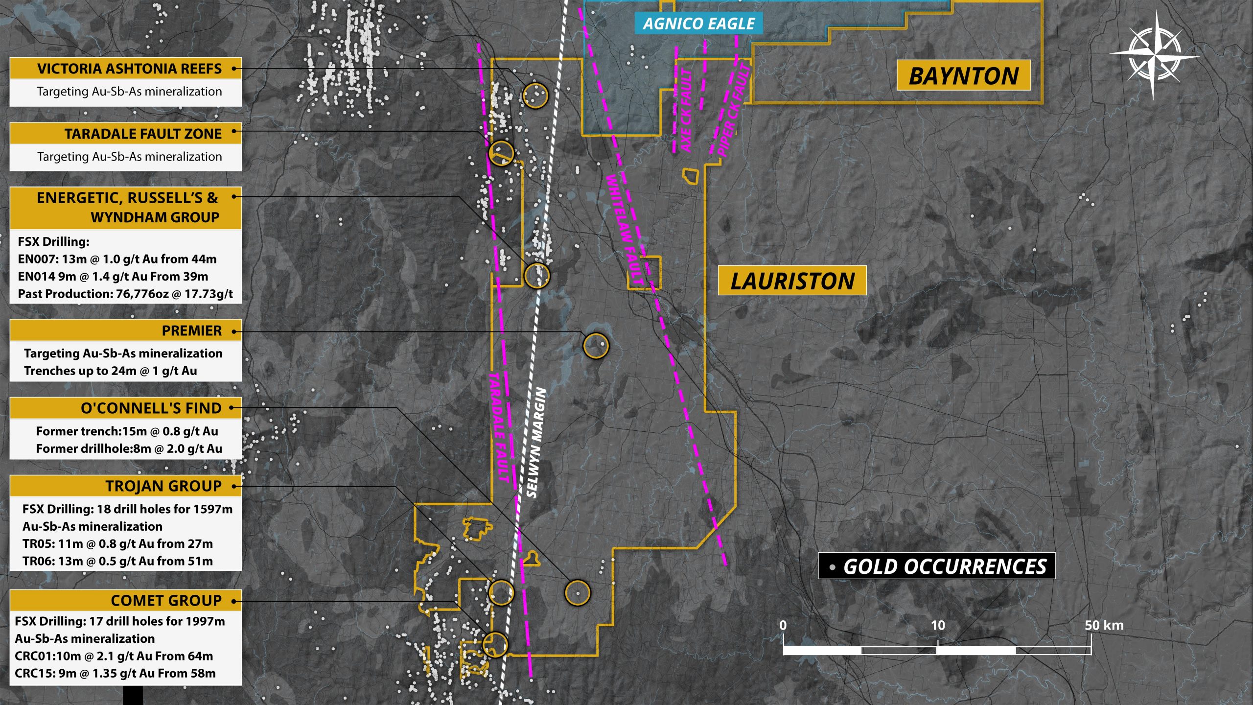
In the Lauriston Project, we have Low-Impact Exploration programs and Work Plans that cover these areas of interest:
- O’Connells Find – Low-Impact drilling.
- Comet and Trojan areas – Low-Impact drilling and a pending Work Plan.

