HARRIETVILLE
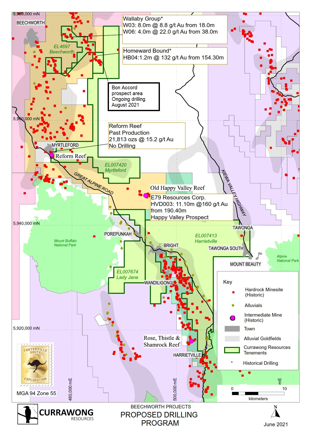
Our 100% owned Harrietville Project is located in the Alpine region of Victoria, approximately 100 kilometres south of Albury-Wodonga, just above Mt Hotham. This project lies on the border of the Tabberabbera and Omeo Zones of the Lachlan Fold Belt.
We currently have on granted exploration licence (EL007420, from west of Myrtleford until south of Yackandandah). We are in the planning stage of our approach to this licence and are considering our approach to community engagement as part of this.
We also have two exploration licence applications as part of this project, which are currently being reviewed by Earth Resources Regulations. The public submission periods for these applications have completed.
- EL007413, around the Bright area to the north of Harrietville. The application for this licence was accepted in November, 2020.


